2022年12月17日(土)
阪神上空 11月19日 11:33【【Solomon Islands M7.3、日向灘 M5.4 震度4、沖縄本島北西沖 M4.9】】
古いのですが、↓と関係があったようですので、、。
https://sora.ishikami.jp/image_dir/index.php
2022年11月22日 11時03分頃 16 km SW of Malango, Solomon Islands M7.3
2022年12月18日 03時06分頃 日向灘 M5.4 震度4
2022年12月18日 16時02分頃 沖縄本島北西沖 M4.9 震度2
日本時間18日06:45:36 M 5.0 - Reykjanes Ridge
*)大阪・奈良県境の雨雲レーダーにリング状の模様「ブライトバンド」
https://weathernews.jp/s/topics/202212/170145/
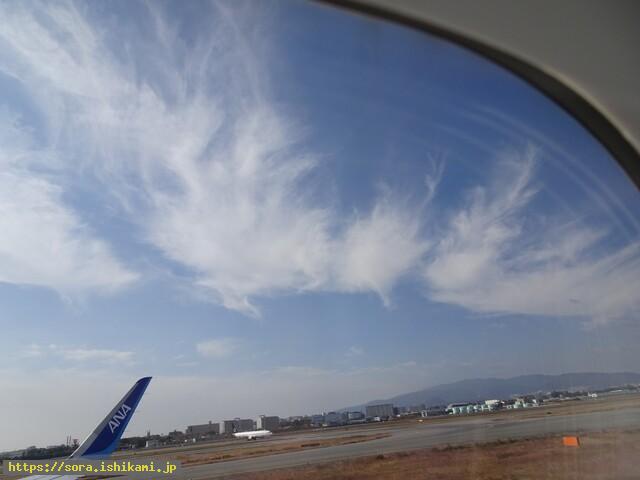
2022年12月17日(土)
阪神上空 11月19日 11:33
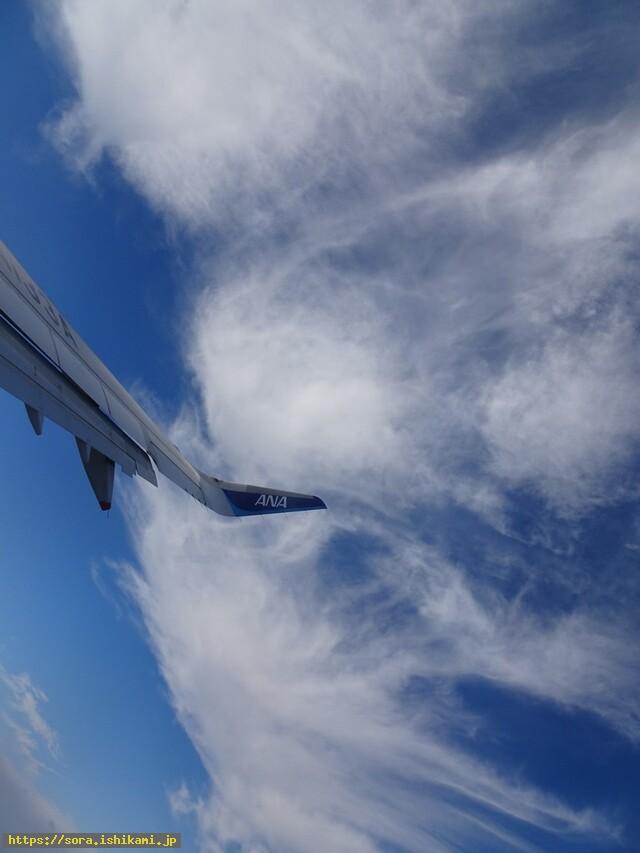
2022年12月17日(土)
伊丹空港 11月19日 11:31
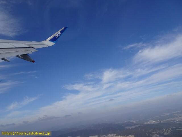
2022年12月17日(土)
伊丹空港 11月19日 11:29
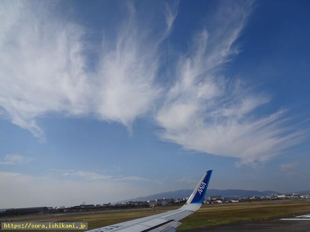
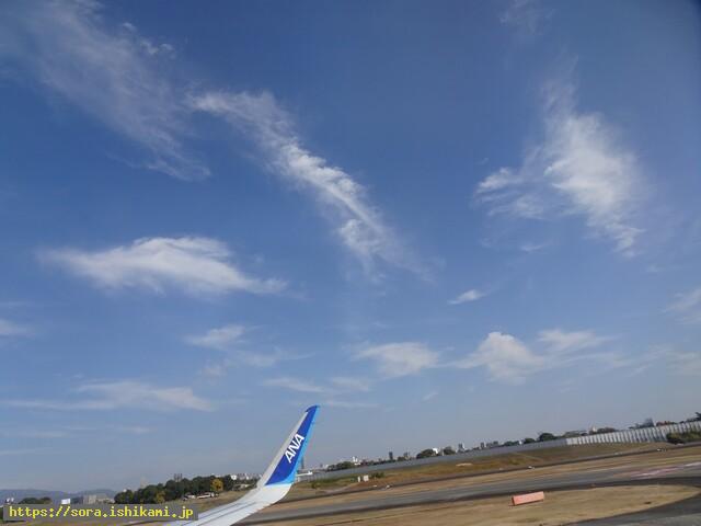
2022年12月17日(土)
伊丹空港 11月19日 11:23
過去の画像ですみません。